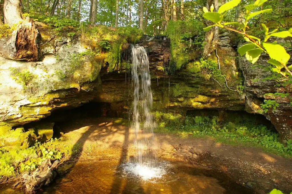
What makes Scott Falls special
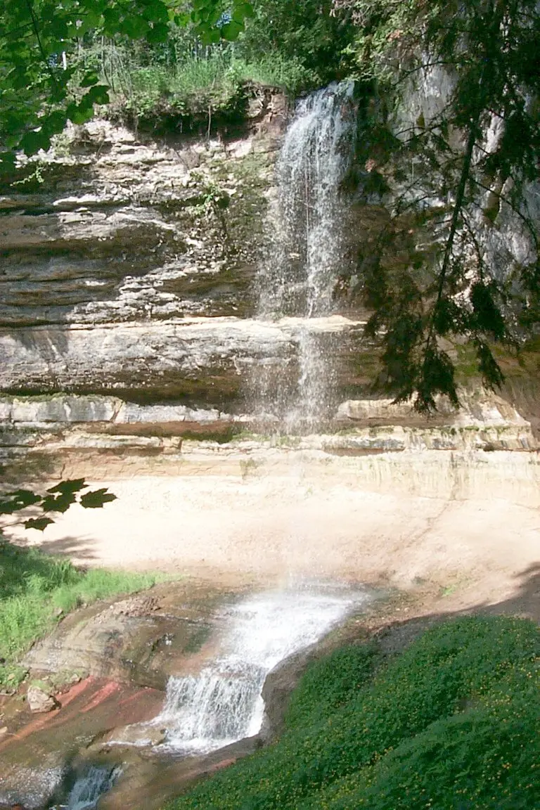
Scott Falls is a small waterfall along highway M-28 in Alger County, Michigan, near the town of Au Train. The description puts the drop at about 10 feet, over a sandstone cliff into a small pool. It is a modest fall, and its charm is exactly that: a roadside drop you can see from the highway, across the road from the H.J. Rathfoot State Roadside Park.
The setting is the point. The fall drops over sandstone, the rock of the Pictured Rocks country, and the pool below is small and still. It is the kind of fall you stop for on a drive along Lake Superior’s south shore, between the bigger names of the region, and it rewards a short stop rather than a long hike.
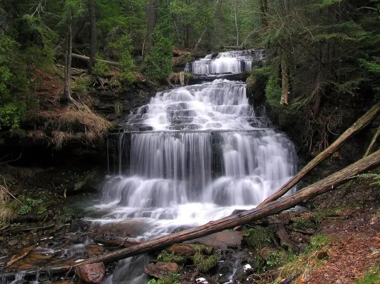
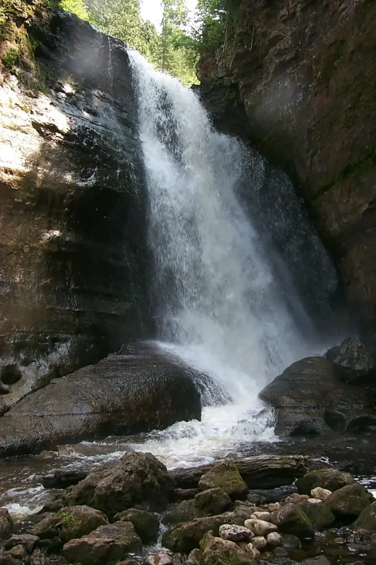
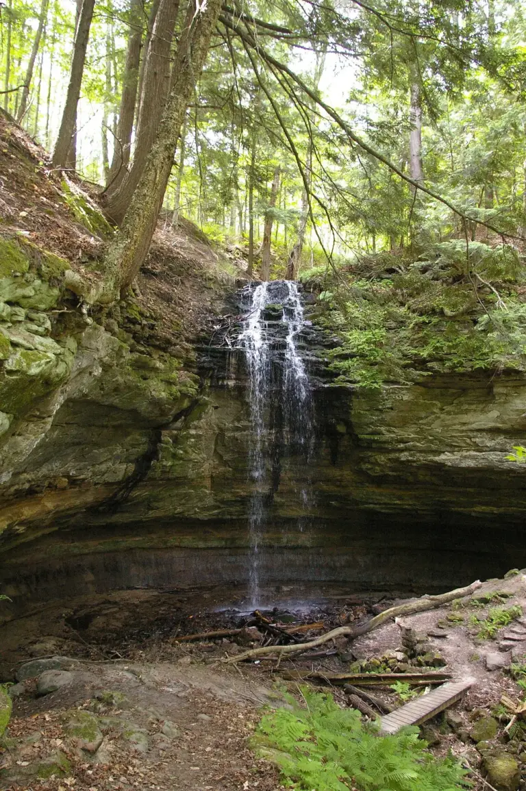
Its neighbours are a drive away. Ice is 10.8 miles away, Sweet Mother Moses 11.0 miles away and Elliot Falls 14.1 miles away, so Scott Falls is one stop on a highway tour of the Alger County falls rather than one of a tight cluster.
Source: Wikipedia
Geology and background
The fall drops over a sandstone cliff into a small pool. Sandstone is the rock of this stretch of the Upper Peninsula, laid down as sand long before the lake existed and worn back by water ever since. The low, wide cliff and the small pool below are what a sandstone fall looks like: not a tall plunge, but a short drop over a ledge that the water has cut and kept cutting.
Plan your visit
Getting there and parking
- GPS: 46.4369, -86.81469 — Get directions
Navigate by coordinates rather than by name. Map apps often send waterfall searches to the wrong parking lot or the far side of the stream. The falls can be seen from the highway, across the road from the H.J. Rathfoot State Roadside Park. Download an offline map before you lose signal.
Best time and crowds
No stream gauge is linked to Scott Falls, so recent rain is your best guide. Expect the most water in spring and after heavy rain. In a dry spell, especially late summer and early fall, the same fall can look half the size.
This is a highway stop, so it is rarely crowded. Even so, an early start is the best way to have the viewpoint to yourself, and the roadside park across the road is the place to pull off safely.
Safety
Stay on marked trails and behind railings. Wet, mossy rock near the brink is the most common cause of serious injury. Never climb the cascade or stand at the top edge, even when the flow looks gentle. Watch for traffic when crossing the highway to the falls.
What to bring
- Shoes with real grip
- A rain shell for the spray
- Water and a snack
- An offline map or screenshot
- A dry bag for your phone
- A bag to pack out trash
Practical tips
- Pull off at the H.J. Rathfoot State Roadside Park across the road: the falls are visible from the highway from there.
- Screenshot the directions and these coordinates before you leave town.
- Wear shoes you do not mind getting wet: spray reaches further than you expect.
- Pair it with Ice, 10.8 miles away, or Sweet Mother Moses, 11.0 miles away, if you are driving the M-28 falls.
Keep exploring
- More waterfalls in Michigan
- Explore Michigan waterfalls
- Ice (10.8 mi away)
- Sweet Mother Moses (11.0 mi away)
- Elliot Falls (14.1 mi away)
- Explore the map
Leave a waterfall report