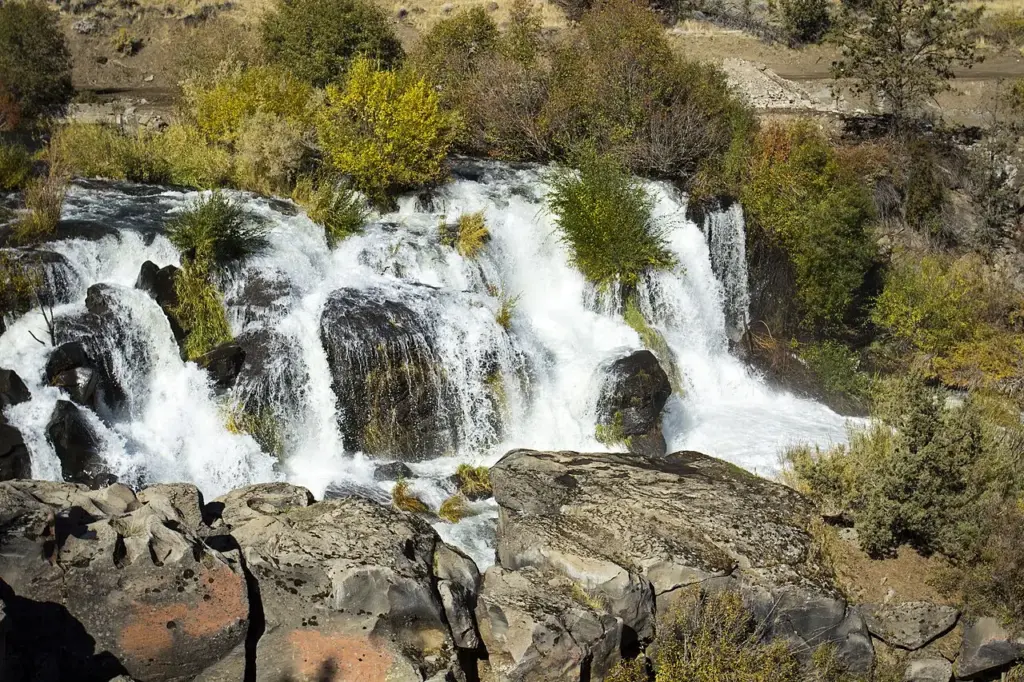
What makes Cline Falls special
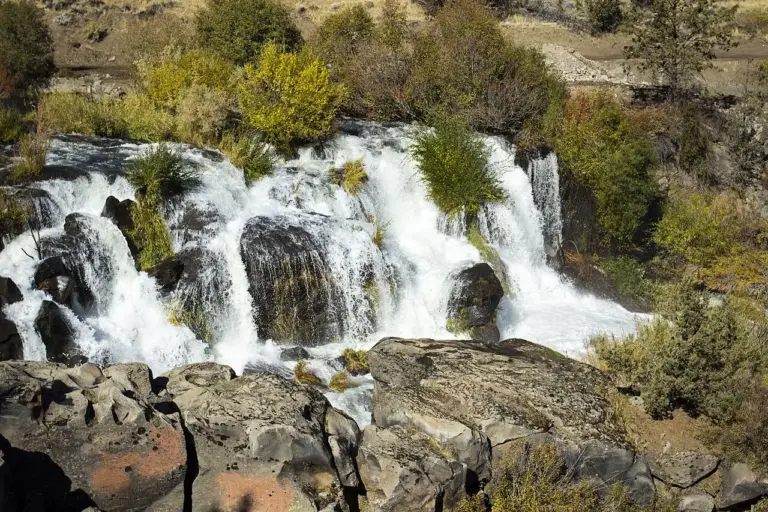
Cline Falls is a 20-foot segmented steep cascade on the Deschutes River, about 4 miles west of Redmond, Oregon. It is a low, wide fall rather than a tall one: the water splits into segments as it drops, and the river spreads across the rock instead of falling in a single sheet. The fall is named for Cass A. Cline, who owned the land next to it in the early 20th century.
The fall sits just north of the point where Oregon Route 126 crosses the Deschutes River, which makes it easy to find and easy to miss at the same time: the road passes close by, but the river does the work below the bridge. The riparian area around the falls provides habitat for a variety of fish and wildlife species, so the banks are worth a look as well as the water.
Its neighbours are a drive away. Awbrey Falls is 6.0 miles away and Steelhead Falls 9.8 miles away, so Cline Falls is a stop on its own rather than one of a cluster.
Source: Wikipedia
Geology and background
The fall is a segmented steep cascade, which means the river does not drop in one piece. It splits into separate channels as it comes down, and each channel finds its own way over the rock. The low height and the wide spread are the character of the fall: it is a river fall, shaped by the Deschutes, rather than a cliff fall shaped by the drop.
Plan your visit
Getting there and parking
- GPS: 44.276948, -121.2584859 — Get directions
The fall is about 4 miles west of Redmond, just north of where Oregon Route 126 crosses the Deschutes River. Navigate by coordinates rather than by name. Map apps often send waterfall searches to the wrong parking lot or the far side of the stream. Download an offline map before you lose signal.
Best time and crowds
No stream gauge is linked to Cline Falls, so recent rain and snowmelt are your best guide. Expect the most water in spring and after heavy rain. In a dry spell, especially late summer and early fall, the same fall can look half the size.
This is a quieter fall than the famous ones, and the roadside setting keeps the visit short. Even so, an early start is the best way to have the riverbank to yourself.
Safety
Stay on marked trails and behind railings. Wet, mossy rock near the brink is the most common cause of serious injury. Never climb the cascade or stand at the top edge, even when the flow looks gentle. The Deschutes is a strong river: keep well back from fast water.
What to bring
- Shoes with real grip
- A rain shell for the spray
- Water and a snack
- An offline map or screenshot
- A dry bag for your phone
- A bag to pack out trash
Practical tips
- Screenshot the directions and these coordinates before you leave town.
- Pair it with Awbrey Falls, 6.0 miles away, or Steelhead Falls, 9.8 miles away.
- Look at the riverbanks as well as the fall: the riparian area is habitat for fish and wildlife.
- Go after rain or in spring: a low river fall is at its best when the water is up.
Keep exploring
- More waterfalls in Oregon
- Explore Oregon waterfalls
- Awbrey Falls (6.0 mi away)
- Steelhead Falls (9.8 mi away)
- Whychus Creek Falls (16.5 mi away)
- Explore the map
Leave a waterfall report