What makes Pāpalaua Falls special
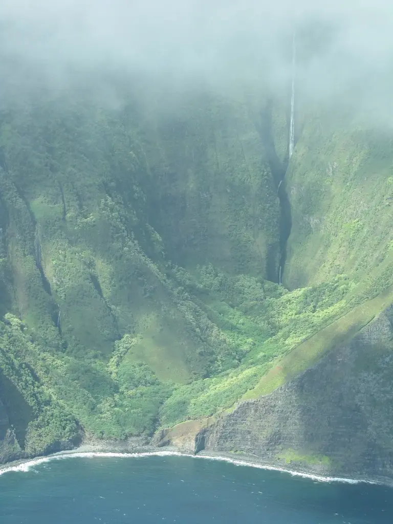
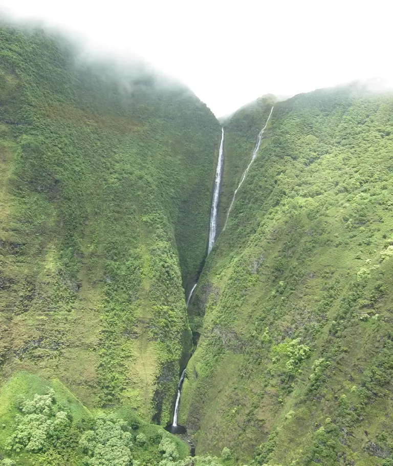
On Molokai’s northern shore, in the Papalaua Valley, the Kawai Nui stream feeds Pāpalaua Falls. The stream runs 1,644 feet and cuts a steep fissure through the valley wall. The fall comes down in five drops, and the middle one, a 1,120-foot drop, can be seen from the sea, which is why the fall is popular with aerial and boat tours of the island. Those heights are the description’s figures: the fall’s height has not passed our source check, so we print them as the description counts them, not as verified heights.
The name carries its own weather. Pāpalaua comes from pāpala-ua, meaning rain fog, and the fall lives up to it: it flows all year round, and it runs strongest in the rainy months, November to March. The mist around the fissure is part of the fall, not a side effect.
The valley around it holds older history. The ground near the fall still holds traces of old taro terraces, built by Native Hawaiians and Chinese growers. And the fall is often misidentified as the nearby Kahiwa Falls, which is 0.7 miles away: two tall falls on the same shore, easy to confuse from the sea.
Source: Wikipedia
Geology and background
The fall is the work of the Kawai Nui stream cutting down through the valley. Over time the stream carved a steep fissure, and the water now drops through it in five stages, with the long middle drop doing most of the work. The fissure is the fall’s shape: a narrow cut in the valley wall, with the stream falling through it to the shore below.
Plan your visit
Getting there and parking
- GPS: 21.1594294, -156.8048434 — Get directions
Use the coordinates, not the name, to navigate. Map apps often send waterfall searches to the wrong parking lot or the far side of the stream. Download an offline map before you lose signal. Note that the middle drop is seen from the sea: the fall is best known from boat and air tours, not from a trail.
Best time and crowds
A stream gauge is linked on this page: check the live flow before you go. The fall runs all year, and it is at its strongest in the rainy season, from November to March.
Safety
Stay on marked trails and behind railings. Wet, mossy rock near the brink is the most common cause of serious injury. Never climb the cascade or stand at the top edge, even when the flow looks gentle. In canyons, rain upstream can raise the water in minutes: leave if the water turns muddy or starts to rise.
What to bring
- Shoes with real grip
- A rain shell for the spray and the island showers
- Water and a snack
- An offline map or screenshot
- A dry bag for your phone
- A bag to pack out trash
Practical tips
- Check the live gauge before you go: rainy-season flow is what makes this fall.
- Do not confuse it with Kahiwa Falls, 0.7 miles away: the two are often mixed up.
- Time the visit for the rainy season, November to March, for the strongest flow.
- Screenshot the directions and these coordinates before you leave town.
Keep exploring
- More waterfalls in Hawaii
- Explore Hawaii waterfalls
- Kahiwa Falls (0.7 mi away)
- Hīpuapua Falls (2.4 mi away)
- Moaʻula (2.5 mi away)
- Explore the map
Leave a waterfall report